-
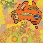
- Commissioned by Wild Blue Yonder Magazine
-
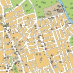
- Educational map for Oxford University Press
-
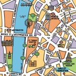
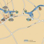
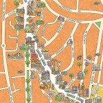
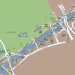
- Hertford Union Canal – Hackney Wick
-
- Educational map for Oxford University Press
-
- Locator map for the Walcot foundation
-
- Educational map for Harcourt Publishing
-
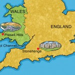
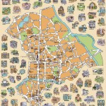
- Educational map for Oxford University Press
-
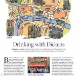
- Map of old London pubs for Discover Britain Magazine
-
- Educational map for Oxford University Press
-
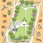
- Newington Green trees and wildlife for The Garden Classroom.
-
- Competition submission
-
- Commissioned by The Garden classroom
-
- Educational map for Oxford University Press
-
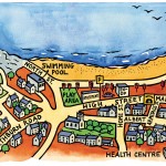
- Healthy walking map for Shoreditch Trust/NHS
-
- For educational project in Oxfordshire
-
- Historical map for Hackney Historic Buildings Trust
-
- Hackney section for Regent’s Canal Heritage
-

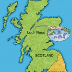
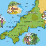
- Promotion for Crieff Hydro, Scotland
-
- Promotional piece
-
- New builds and refurbs in Hackney
-
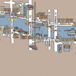
- Regent’s Canal for London Canal Museum display
-
- Educational map for Oxford University Press
-

- Educational map for Oxford University Press
-
- South Tottenham for Bridge Renewal Trust
-
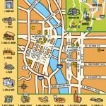
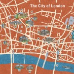
- Map of Piccadilly for Daily Telegraph
-
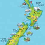
- For Scottish Water Authorities
-
- Part of display at Charterhouse, London
-
- Commissioned by Wild Blue Yonder Magazine
-

- Interactive at Museum of London
-
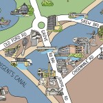
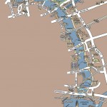
- Hertford Union Canal and Regent’s Canal
-

- Promotional piece
-
- Educational map for Oxford University Press
-
- Educational map for Oxford University Press
-
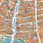
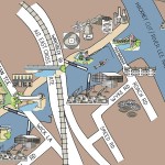
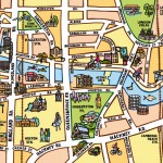
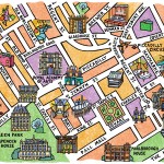
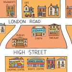
- Broadway Market, London E8, A3 maps £5
-
- Commissioned by Times Educational Supplement
-

- Commissioned by Times Educational Supplement
-
- Map for Green Lanes Traders’ and Residents’ Association
-
- Imitation diary cover for Heinz Baby Food
-

- Educational map for Verlag Cornelsen
-
- Educational map for Oxford University Press
-
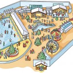
- Proposal drawing for a Winter Fair
-
- Commissioned by Hackney Museum
-
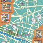
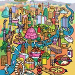
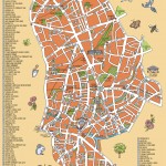
- Paris – Coffee article for Caffeine Magazine
-
- Hertford Union Canal for Regent’s Canal Heritage
-
- Historical map for Regent’s Canal Heritage
-
- Part of series for East London Mornings
-
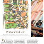
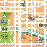
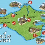
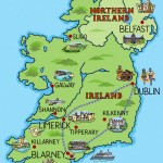
- Portobello Road and surrounds for Visit Britain Magazine